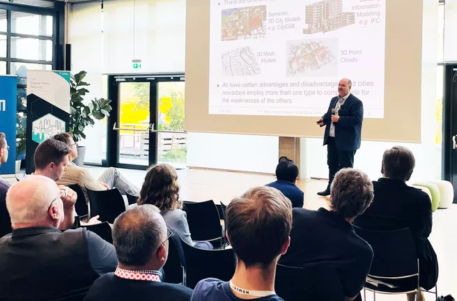
Urban Digital Twins can help cities to develop in a sustainable, inclusive and efficient way. To adress all needs, these factors should be considered:
- Stakeholders (consumers, producers, prosumers)
- Distributed digital resources of the cities/regions (digital models of the physical environment, dynamic data from all domains, static data and analytical tools from all domains)
- Joint catalog to register and find all resources
- Interoperability of all components and data representations
- Organizational & operational framework
Kolbe and his team at the Chair of Geoinformatics have developed an improved catalog service to manage all kinds of distributed information resources of urban digital twins, including a set of digital resources about the city distributed across all resource holders. The SDDI catalog is based on the CKAN Data Platform software and provides specific extensions, e.g. spatial & temporal metadata and search, GUI for linking catalog entries, navigation of catalog entries, DCAT, as well as supported information resources: digital twin, project, thing, geoobject, method, software, online service, online application, dataset/document.
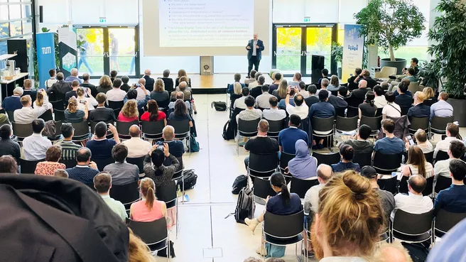
The forum was a part of the 18th International 3DGeoInfo conference, which took place in Munich from 12-14 September 2023, hosted by the Chair of Geoinformatics at the Technical University of Munich, co-organized and sponsored by the City of Munich.
More information:
Chair of Geoinformatics at Technical University of Munich: www.asg.ed.tum.de/gis
SDDI catalog: Docker images https://github.com/tum-gis/ckan-docker and Helm charts for easy deployment of application
stack in Kubernetes Cluster https://github.com/tum-gis/sddi-ckan-k8s
Conference: www.3dgeoinfo.org

